


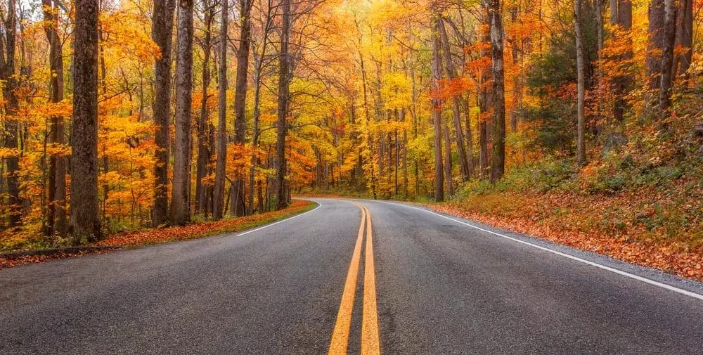
Fall in the Smoky Mountains is one of the most popular times of year for the Great Smoky Mountains National Park. Travelers from all across the country come from far and wide to see the natural beauty of the Smoky Mountains fall colors transitioning from their rich greens to vibrant reds, yellows and oranges.
However, with upwards of 2 million visitors spread out in a two-month span, fall in the Smoky Mountains can also bring a lot of extra traffic that guests wanting to experience the fall leaves may want to avoid. At Auntie Belham’s Cabin Rentals, we want all of our vacationers to experience the full beauty that this season offers, so we have put together a list of the best fall Smoky Mountain drives where visitors are less likely to run into heavy traffic like in the Cades Cove and Newfound Gap areas of the national park.
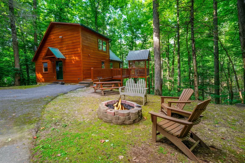
(See Related: 5 Reasons to Spend Fall in the Smoky Mountains Inside a Gatlinburg Cabin)
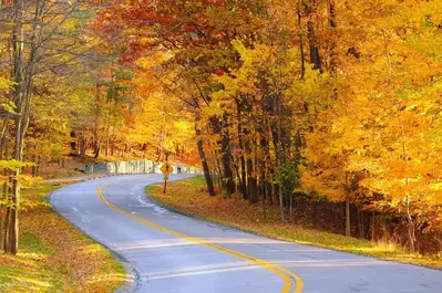
Little River Road (18 miles)
A slightly misleading name, the Little River Road is actually one of the longer scenic fall Smoky Mountain drives that guests can explore. This 18-mile route takes guests all the way from the Sugarlands Visitor Center to the Townsend entrance of the Great Smoky Mountains National Park.
Although this route is relatively flat when compared to some of the fall Smoky Mountain drives that has travelers going up and down mountains, Little River Road still offers a twisting tour of the leaves as guests travel alongside the river. We do want to encourage guests to exercise caution as they turn the sharp corners found on this driving trail.
Popular stops along this fall Smoky Mountain drive include:
- Maloney Point: One of the many popular overlooks found in the Smokies, Maloney Point was named after one of the early advocates for the Great Smoky Mountains National Park, General Frank Maloney. Maloney was one of the many individuals who helped determine the official boundaries of the national park during it’s creating in the mid 1900’s.
From Maloney Point, guests will have a clear view of Fighting Creek towards Gatlinburg. Be sure to bring your camera to snap a view pictures of this gorgeous fall Smoky Mountains view! - Laurel Falls: One of the most popular hiking trails in the Great Smoky Mountains National Park, Laurel Falls is a short 2.5 mile hike that is great for all experience levels. A paved route, this Smoky Mountain hiking trail is definitely worth the stop.
- Elkmont Nature Trail: The Elkmont area of the Great Smoky Mountains National Park was originally used as a lodging and vacation community before the park was established. Visitors here can still find remnants of the old settlement that was housed here, including a rustic hotel that was once a very popular place to stay. Elkmont is also where visitors can find the synchronous Smoky Mountain fireflies every year in the spring.
- Metcalf Bottoms Picnic Area & Little Greenbrier School: The perfect place to stop and enjoy a relaxing picnic during your fall Smoky Mountain drive, the Metcalf Bottoms Picnic area is named for the family who once farmed the rich bottomland near the river where the picnic tables now sit. Once you have finished your lunch, be sure explore up the road a little to the Little Greenbrier School that is just a short walk away.
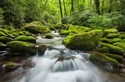
- Meigs Falls: In case you weren’t able to hike to see the peaceful waterfall on the Laurel Falls trail, Meigs Falls will make up for it because it is one of the only Smoky Mountain waterfalls that can be seen from the road. Meigs Falls is particularly beautiful in the late fall because it isn’t has hidden behind a thick row of trees that normally surround it during the warmer times of year.
- Townsend “Y”: Often used for giving directions to all the fun and exciting things to do in Wears Valley and Townsend, the Townsend “Y” is a popular intersection that is just a mile away from the entrance to the Great Smoky Mountains National Park.
Laurel Creek Road (7 miles)
 For visitors looking for a shorter fall Smoky Mountain drive than the one found along the Little River will love the Laurel Creek Road driving trail. At just 7 miles long, this route offers a winding, scenic, tour of the outskirts of the popular Cades Cove area of the Great Smoky Mountains National Park. This route is also an easy way that guests can travel to Tremont Road which then leads visitors to the Great Smoky Mountains Institute at Tremont, as well as a unique view of the lowland forest and Crib Gap.
Greenbrier (5 miles)
Another short drive, the Greenbrier driving trail is a narrow country road that runs alongside the Little Pigeon River. At roughly the halfway point guests will find a quaint picnic area located next to the river’s bank, as well as a moderately difficult hiking trail, Ramsey Cascades. The Porters Creek Trail is also located here.
For a map to any of the scenic Smoky Mountain drives mentioned in this blog, feel free to use the map below. Also, be sure to check out some of the other great fall drives in the Great Smoky Mountains National Park.
If you need help planning your next trip to experience one of these scenic fall Smoky Mountain drives for yourself, feel free to give us a call today!